paulswalksJunior Member   Sex: Sex: Male Posts: 33 Joined: Location: Ashford Status: Offline | Box Hil to Leatherhead Walk (12th May 10 at 12:03pm UTC)
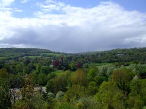
A 7-8 Mile walking starting at Box Hill, Surrey ending in Leatherhead, Surrey. | | This 7-8 mile walk starts at bottom of Box Hill, named after the Box Tree found on its steep sides. Proceed up the rather steep, but easy going climb to get views looking West to Ranmore Common.
 
Follow trail through woods, after taking a detour to view the abandoned fort, rejoin trail to pass the grave of Major Peter Labelli�re - buried head first.
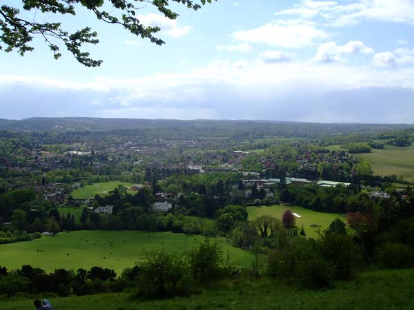
Trail spits just before main viewpoint, take the path right which starts to descend but quickly levels off to the first views looking south. Passing the first viewpoint go through brief woods to reach main viewpoint.

This main viewpoint can get a bit crowded, as the slopes provide a popular picnic area. Continue heading east along North Downs Way through lightly wooded area, with open areas giving less crowded views looking south. Path goes alongside road which you can follow instead, as turning point is on opposite side of road just before caravan park. You now turn sharp left to head North through woods following trails. I got a bit lost here, I had planned to take trail to Juniper Top, but ended up and the bottom of the hill so headed back on self to climb up grassy area. Lovely views looking back South over trees.

Descend back down the way you came up and continue through car park, cross small road a start very steep staircase climb. Couldn't find any worthwhile views to justify the effort of the climb so started descent through woods, heading for the Church at Mickleham. Follow footpath through graveyard and end up on A24. Cross this busy road and cross River Mole over small bridge. The rest of walk follows river through farmland to end walk in Leatherhead.
See this link to view google map of walk...
Happy Walking!! | |
|


